Bad River Kayaking Guide
Overview
The Bad River runs about 44.3 miles through Gratiot and Saginaw counties before joining the Shiawassee River in the Shiawassee National Wildlife Refuge. Its name reportedly reflects how difficult the stream was to navigate in earlier times — and honestly, that reputation still fits. Much of the Bad River is channelized agricultural drain with heavy sedimentation, and it is not a destination paddling stream. There is no established paddling trail, no developed kayak launch, and no documented point-to-point trip on the Bad River.
That said, curious and self-sufficient paddlers do explore Michigan's lesser streams, so this guide exists to set honest expectations: the Bad River is a scouting-level waterway at best. If you go, treat it as an exploratory mission, not a club-style float trip.
At a Glance
- Location: Gratiot and Saginaw counties, mid-Michigan
- Length: About 44.3 miles to the Shiawassee River
- Difficulty: Not rated — no established route
- Character: Channelized agricultural stream, mostly slow and shallow
- Best for: Experienced scouts only; not a group-paddle river
- Verified launches: None found
Paddling Sections
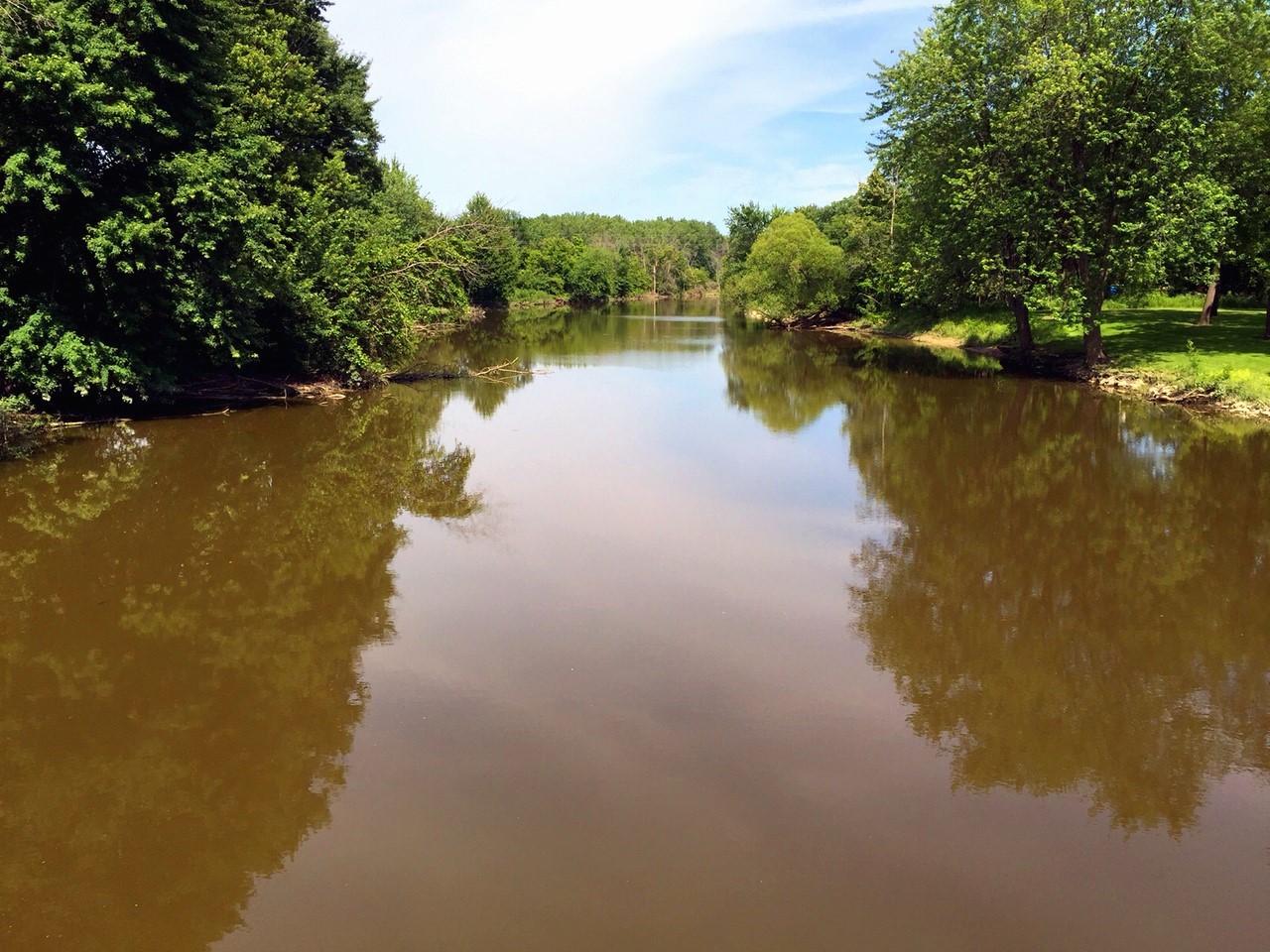
No researched paddling sections exist for the Bad River, so we do not publish segment mileages or times for it. Research identifies the river near Hemlock Road in the Brant area of Saginaw County and at St. Charles, where the photo above was taken. The lower river passes into the Shiawassee National Wildlife Refuge, which is ecologically sensitive; check refuge rules before approaching that end by boat. Any attempt would be strictly exploratory: expect straightened, slow-moving water, possible deadfall in less-maintained stretches, and long carries to and from road crossings.
Hazards & Portages
- Private land: Most frontage is agricultural and privately owned. Never launch from or trespass on private property; use public road rights-of-way only where legal and safe.
- Low water and sediment: Shallow, silty stretches may require dragging your boat in dry periods.
- Strainers and deadfall: Unmaintained sections can hold downed trees and brush piles.
- No services: There are no liveries, shuttles, or developed launches on this river.
Access & Parking
We could not verify a single public kayak launch on the Bad River. Road crossings such as Hemlock Road near Brant offer a look at the water, but roadside parking and launching conditions vary and must be confirmed on the ground. If you scout this river, plan conservatively, tell someone your plan, and be ready to turn back.
Map
Marker: the Bad River at St. Charles — a scouting reference point, not a verified launch.
Paddle With West Michigan Kayaking Club
Looking for a river that's actually ready to paddle? The West Michigan Kayaking Club runs group trips all season on Michigan's best-established waterways. Check the club calendar for upcoming paddles, and join our Facebook group to ask questions and meet fellow paddlers. Browse all of our write-ups on the Michigan's Lower Peninsula River Guide page.