White River Kayaking Adventure: Pines Point to Fruitvale Road
A remote, technical 15–20 mile paddle through the Manistee National Forest, from Pines Point near Hesperia to the Fruitvale Road bridge near Montague, Michigan.
Wild Rivers. Rugged Trails. Real Adventure.
Trip Overview: Kayaking the White River from Hesperia
On Saturday, June 6, 2026, the West Michigan Kayaking Club took on one of the wildest stretches of the White River, paddling roughly 15–20 miles from Pines Point National Forest Campground near Hesperia down to the Fruitvale Road bridge near Montague.
This section runs through the heart of the Manistee National Forest. With very little private property, abundant wildlife and almost no development along the banks, it delivers a true wilderness feel just an hour north of Grand Rapids.
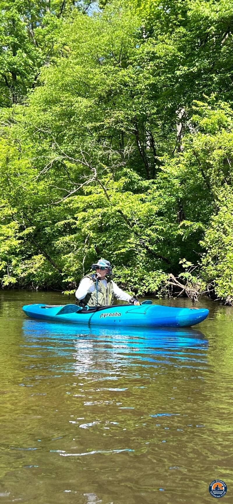
This was an active, rain-or-shine paddle, not a lazy drift. Fast current, tight turns, downed wood and multiple river splits demanded focus, boat control and navigation awareness for the full day.
1. The Put-In: Pines Point National Forest Campground
Location: Federal Forest Rd 5637 A, Hesperia, MI 49421 (Manistee National Forest)
GPS: 43.528137, -86.118435
Meet time: 10:00 AM
Directions: From Hesperia, take M-120 (Maple Island Rd) south, west on Garfield, south on 168th St, and follow to Pines Point.
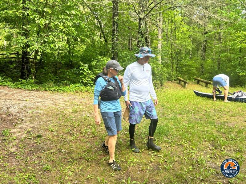
Paddlers met at Pines Point at 10:00 AM to unload boats, check gear and organize the shuttle. Before launching, vehicles were staged at the Fruitvale Road take-out so the group could finish with cars waiting.
2. The River Journey: Through the Manistee National Forest
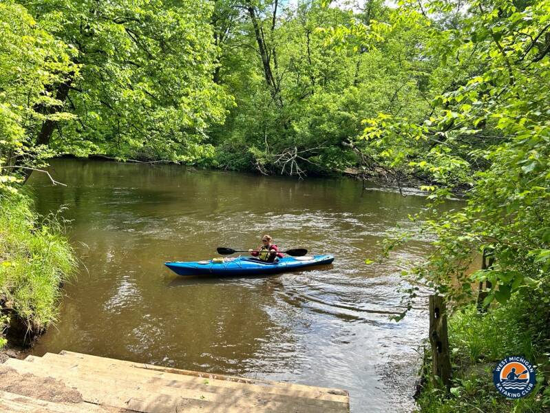
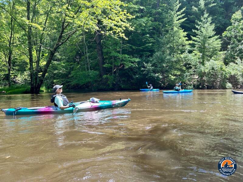
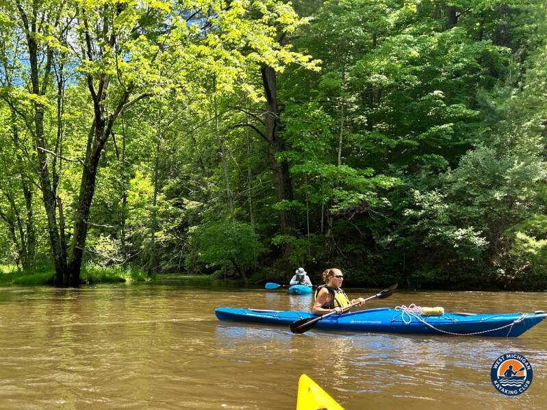
Below Pines Point, the White River moves fast and steady over a mostly sandy bottom. Average depth is under three feet, broken up by occasional deep holes of eight feet or more where the current carves the outside bends.
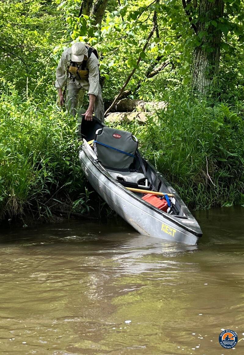
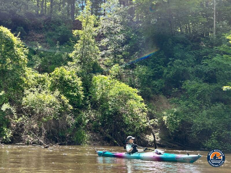
The technical character of this stretch kept everyone sharp. Tight turns, strainers and downed wood required constant reading of the water, and a few obstacles meant getting out for some "4-wheel yakin" over and around logjams. The river also splits several times along the route, so staying together and watching the main channel was essential.
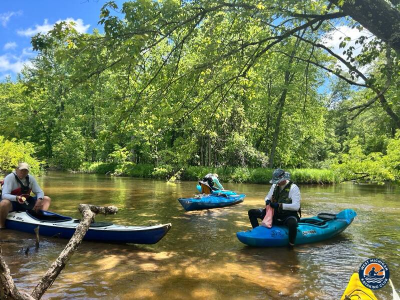
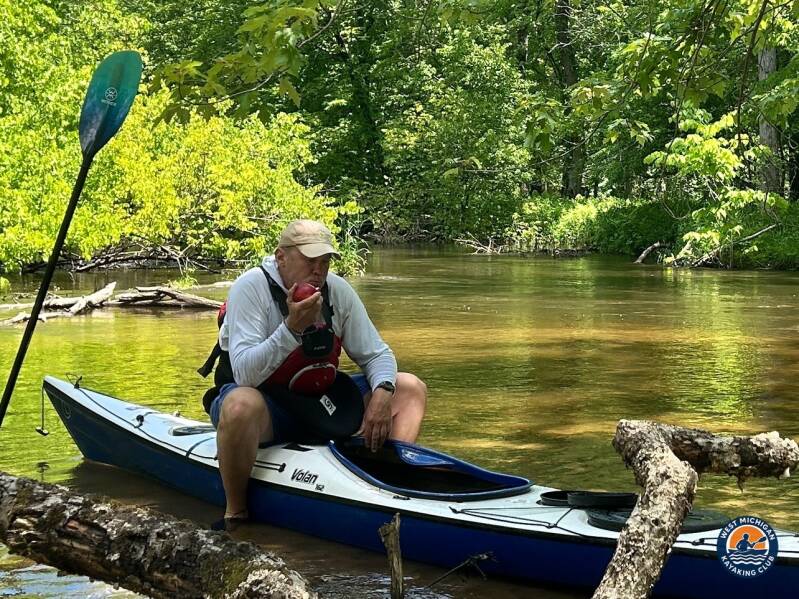
Cell service is limited to nonexistent on this stretch, which is part of what makes it special. The group took a roughly 30-minute lunch break along the way before pushing on through the forest toward Montague.
3. USGS River Flow and Water Conditions
Nearest gauge: White River near Whitehall, MI — USGS 04122200 (downstream of this route)
Gauge data: USGS monitoring location 04122200
Recorded Readings for June 6, 2026
| Daily mean discharge (USGS, recorded) | 412 cfs |
|---|---|
| Gauge height (USGS, recorded) | Not published as a daily value for this gauge |
| Median daily flow for June 6 (USGS statistics) | 402 cfs |
| Condition vs. normal | Normal |
At 412 cfs, the Whitehall gauge sat almost exactly on its June 6 median of 402 cfs, so the river ran at a normal early-June level — enough depth over the sandy runs to keep the group moving without scraping, with a moderate current through the national forest stretch. Downed wood, not water level, set the pace of the day's work, with the usual logjams to work through or carry around along the route.
Regional context: the National Weather Service's Muskegon climate summary shows June 2026 rainfall slightly above normal, with 3.15 inches against a 3.05-inch normal.
4. Historical Weather Conditions near Hesperia, Michigan
The nearest official National Weather Service climate station is Muskegon County Airport, roughly 25 miles south of the take-out. Conditions inland in the national forest can differ from the lakeshore.
| Temperature at 10:00 AM meet time | 68°F |
|---|---|
| Afternoon high | 78°F |
| Sky / cloud cover | Early fog, burning off well before launch; mostly sunny with few clouds by the 10:00 AM meet and through the afternoon |
| Wind speed and direction | West-northwest, about 5 mph at launch and 6–10 mph in the afternoon |
| Precipitation | 0.04 in. — all of it overnight, before the trip; dry on the water |
What the monthly record shows: June 2026 ran slightly cooler than normal at Muskegon, with an average high of 76.3°F, and the month was mostly partly cloudy, with 22 partly cloudy days and seven days with thunderstorms. The trip was billed as rain or shine, and the gear list called for warm, dry layers and a full change of clothes for anyone paddling without a dry suit.
The fog and the last of the overnight damp cleared out early, and the paddle ran under mostly sunny skies as temperatures climbed from 68°F at the meet into the upper 70s. Light west-northwest winds barely registered under the forest canopy, making it a warm, dry day on the river.
5. The Take-Out: Fruitvale Road Bridge
Location: Fruitvale Rd., Montague, MI
GPS: 43.464430, -86.232271
Directions: From Hesperia, take M-120 south, west on Skeels Rd, south on Nichols Rd, then west on Fruitvale Rd to the bridge (near Happy Mohawk Canoe Rental).
After a full day in the national forest, the group reached the Fruitvale Road bridge where the shuttle vehicles were waiting, closing out another West Michigan Kayaking Club river adventure.
Technical Trip Information
| River | White River |
|---|---|
| Trip date | Saturday, June 6, 2026 |
| Put-in | Pines Point National Forest Campground, Hesperia — 43.528137, -86.118435 |
| Take-out | Fruitvale Rd. bridge, Montague — 43.464430, -86.232271 |
| Distance | Approximately 15–20 miles |
| Club difficulty | Level 2 — Intermediate (not recommended for beginners) |
| Target pace | 4–4.5 mph, depending on current |
| Paddle time | 4–5 hours; plan 6–7 hours with breaks and conditions |
| Water conditions | Fast, steady current; mostly sandy bottom; average depth under 3 ft with holes of 8+ ft |
| Hazards | Tight turns, strainers, downed wood, multiple river splits |
| Portages | Possible, around logjams |
| Cell service | Little to none |
| Shuttle | Required (set before launch) |
| Land management | Manistee National Forest |
| USGS gauge | 04122200 — White River near Whitehall, MI |
Safety and Equipment
Participants brought a PFD, paddle, warm and dry layers, a full change of clothes (especially anyone without a dry suit), food, plenty of water and bug spray, which this stretch definitely calls for.
More Than the Miles
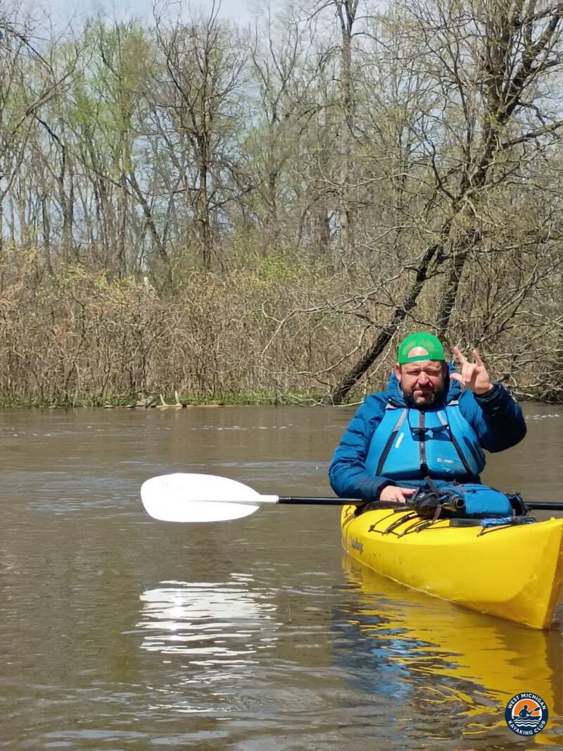
The White River from Pines Point is the kind of paddle the club exists for: remote, technical and rewarding. Fast water, tight bends and a forest that closes in on both banks made every mile feel earned.
Trip Recap
- Approximately 15–20 miles paddled from Pines Point to Fruitvale Road
- Active 4–4.5 mph pace through fast, technical water
- Strainers, downed wood and river splits navigated as a group
- A true wilderness stretch through the Manistee National Forest
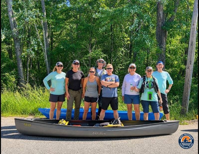
- 12 paddlers on the water
Thank you to trip leaders Brad De Young and Tim Postma for planning the route, coordinating the shuttle and keeping the group together through every bend, and to every member who showed up ready to paddle.
More Than Just a Kayaking Club
West Michigan Kayaking Club brings together active paddlers who love exploring Michigan's rivers, lakes, trails and wilderness areas. Our adventures range from day paddles to extended river expeditions, hiking, camping, backpacking and multi-day outdoor experiences.
We believe in getting beyond the familiar launch sites, discovering new waterways and making the most of Michigan's incredible natural resources. We aren't here just to drift downstream. We're here to explore, challenge ourselves and discover what's around the next bend.
Come Paddle With Us
Looking for Michigan kayaking trips with people who actually paddle? Membership and all club events are free.
Wild Rivers. Rugged Trails. Real Adventure.
Sources
U.S. Geological Survey, White River near Whitehall, MI (USGS 04122200), streamflow records. National Weather Service Grand Rapids, Muskegon Climate Summary for June 2026.