Shiawassee River Kayaking Adventure: Byron to SHIATown Park
An 18–19 mile intermediate river paddle on the Shiawassee National Heritage Water Trail, from Byron, Michigan, to SHIATown Park.
Wild Rivers. Rugged Trails. Real Adventure.
Trip Overview: Kayaking the Shiawassee River from Byron
On Saturday, August 15, 2026, the West Michigan Kayaking Club traveled east to explore approximately 18–19 miles of the Shiawassee River, paddling downstream from Byron, Michigan, to SHIATown Park along the Shiawassee National Heritage Water Trail.
This was an active, intermediate-level paddle through one of Mid-Michigan's most scenic river corridors. Winding channels, wooded shorelines and steady moving water made the Shiawassee an excellent way to experience Michigan's inland waterways from the seat of a kayak.
This was a true paddling day, not a lazy drift downstream. The route called for sustained effort, endurance and the ability to hold a consistent pace of 4–4.5 mph over several hours on the water.
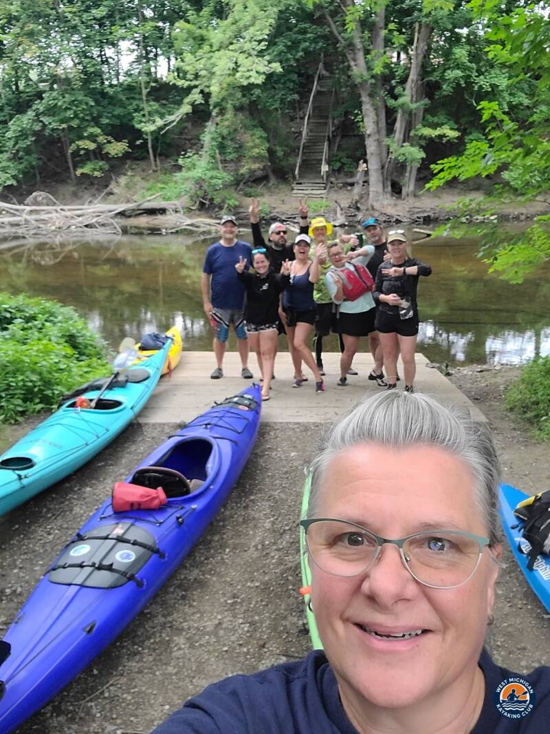
1. The Put-In: Byron Ballfield Launch
Location: Byron, Michigan (Shiawassee County)
GPS: 42°49'23.92"N, 83°56'46.02"W
Meet time: approximately 9:00 AM
The adventure began at the Byron Ballfield Launch, where members gathered around 9:00 AM to unload boats, check gear and organize the vehicle shuttle.
Before anyone launched, vehicles were run downstream to the take-out at SHIATown Park. Setting the shuttle first meant the group could finish the paddle with cars already waiting, with no return trip to arrange at the end of a long day on the water.
2. The River Journey: Byron to SHIATown Park
The Shiawassee River is a great example of the natural character of Michigan's inland rivers. Its winding course, shifting channels, wooded banks and varied habitat make it a rewarding destination for paddlers looking to explore beyond the more heavily traveled rivers of West Michigan.
Moving downstream, the landscape changed around nearly every bend. Natural scenery, the occasional obstacle and steady current kept the paddle engaging from start to finish and required paddlers to stay alert and read the water.
Covering 18–19 miles meant several hours of continuous paddling. It was a rewarding endurance day that combined physical challenge, outdoor exploration and the camaraderie of traveling a Michigan river together.
The Shiawassee is a reminder of how much natural beauty can be found across Michigan, often just beyond the familiar roads and towns we pass every day.
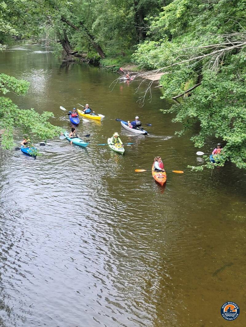
3. USGS River Flow and Water Conditions
Reference gauge: Shiawassee River at Owosso, MI — USGS 04144500, the nearest active USGS gauge, downstream of the SHIATown Park take-out. (The historical Byron gauge, USGS 04144000, is no longer recording.)
Drainage area at gauge: 538 square miles
Gauge data: USGS monitoring location 04144500
Recorded Readings for August 15, 2026
| Daily mean discharge (USGS, recorded) | 111 cfs |
|---|---|
| Gauge height (USGS, recorded) | Not published as a daily value for this gauge |
| Median daily flow for August 15 (USGS statistics) | 98 cfs |
| Condition vs. normal | Normal |
At 111 cfs, the river was running a little above its August 15 median of 98 cfs — normal for the date, with enough current to help the group hold its 4–4.5 mph target pace over the long 18–19 mile run. The water was not low enough to expose extra shallows, though downed logs and wooded bends still demanded attention all day.
Regional context: the National Weather Service's Flint climate summary shows August 2026 was wetter than normal in the Flint area, with 3.71 inches of rain against a 3.16-inch normal and seven days with thunderstorms. Rain events during the month would have kept the upper Shiawassee from running at late-summer lows, though the exact flow on trip day should be taken from the USGS gauge record above.
4. Historical Weather Conditions in Byron, Michigan
The nearest official National Weather Service climate station is Flint (Bishop International Airport), roughly 15 miles northeast of the Byron put-in.
| Temperature at 9:00 AM meet time | 69°F |
|---|---|
| Afternoon high | 80°F |
| Sky / cloud cover | Overcast at the 9:00 AM meet, clearing to partly cloudy by mid-morning |
| Wind speed and direction | East-southeast, about 8 mph |
| Precipitation | None |
What the monthly record does show: August 2026 in Flint ran warmer than normal, with an average high of 81.1°F and average low of 60.4°F. The day after the trip, Sunday, August 16, brought the month's hottest reading (87°F) and its strongest winds, with a 53 mph gust out of the west, which places the club's Saturday paddle in a warm, humid stretch just ahead of that stormy turn.
The gray, overcast start kept the morning comfortable, and as the sky cleared the river's wooded banks gave long stretches of shade against the climb to 80°F. Light east-southeast winds were a non-factor on the sheltered river, and the dry day kept the launches and banks firm.
5. The Take-Out: SHIATown Park
Location: Shiatown area, Shiawassee County, Michigan
GPS: 42°55'49.66"N, 84°04'19.25"W
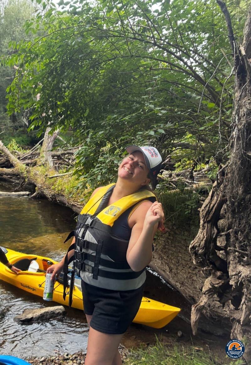
SHIATown Park marked the end of the 18–19 mile journey. After several hours of steady paddling downstream from Byron, the group pulled into the take-out where the shuttle vehicles were waiting, bringing another West Michigan Kayaking Club river adventure to a strong finish.
Technical Trip Information
| River | Shiawassee River |
|---|---|
| Trip date | Saturday, August 15, 2026 |
| Put-in | Byron Ballfield Launch, Byron, MI — 42°49'23.92"N, 83°56'46.02"W |
| Take-out | SHIATown Park — 42°55'49.66"N, 84°04'19.25"W |
| Distance | Approximately 18–19 miles |
| Club difficulty | Level 2 — Intermediate |
| Target pace | 4–4.5 mph |
| Time on water | 3–4 hours (estimated) |
| Water conditions | Moving water; possible logs and obstacles |
| Shuttle | Required (set before launch) |
| Water trail | Shiawassee National Heritage Water Trail |
| USGS gauge | 04144500 — Shiawassee River at Owosso, MI (reference gauge) |
Safety and Equipment
Participants brought their own kayaks or canoes, paddles, properly fitted personal flotation devices, drinking water, food, weather-appropriate clothing, sunscreen, insect protection and dry bags.
More Than the Miles
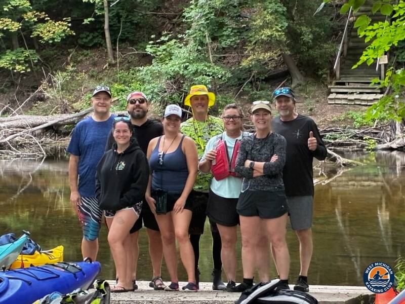
Eighteen-plus miles on a winding river is a real day's work, and every paddler who finished it earned it. The Shiawassee rewarded the effort with quiet wooded corridors, steady current and the kind of shared accomplishment that only comes from covering serious distance together.
Trip Recap
- Approximately 18–19 miles paddled from Byron to SHIATown Park
- Intermediate (Level 2) pace of 4–4.5 mph held over 3–4 hours
- Shuttle set before launch for a clean finish at the take-out
- A new stretch of the Shiawassee National Heritage Water Trail explored by the club
Thank you to trip leader Brad De Young for organizing the route, coordinating the shuttle and keeping the group together from Byron to SHIATown Park, and to every member who showed up ready to paddle.
More Than Just a Kayaking Club
West Michigan Kayaking Club brings together active paddlers who love exploring Michigan's rivers, lakes, trails and wilderness areas. Our adventures range from day paddles to extended river expeditions, hiking, camping, backpacking and multi-day outdoor experiences.
We believe in getting beyond the familiar launch sites, discovering new waterways and making the most of Michigan's incredible natural resources. We aren't here just to drift downstream. We're here to explore, challenge ourselves and discover what's around the next bend.
Come Paddle With Us
Looking for Michigan kayaking trips with people who actually paddle? Membership and all club events are free.
Wild Rivers. Rugged Trails. Real Adventure.
Sources
U.S. Geological Survey, Shiawassee River at Owosso, MI (USGS 04144500), streamflow records; Shiawassee River at Bath Road at Byron, MI (USGS 04144000), site information. National Weather Service Detroit/Pontiac, Flint MI Climate Summary for August 2026.