Cheboygan River Kayaking Guide
Overview
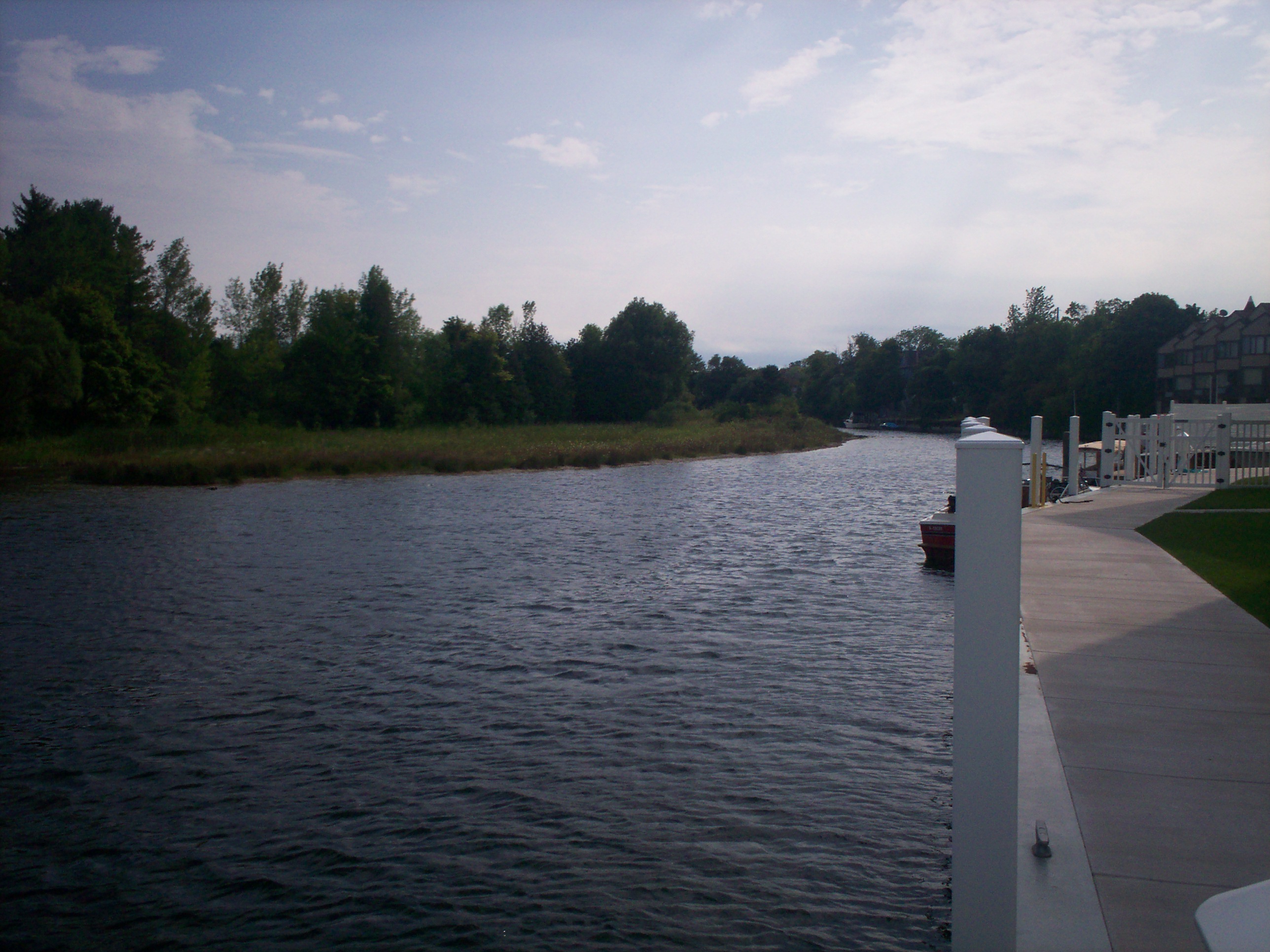
The Cheboygan River runs roughly five miles from Mullett Lake to the city of Cheboygan and Lake Huron, forming the northern end of Michigan's 38-mile Inland Waterway. This is a different kind of paddling from a winding forest stream: the Cheboygan is a maintained, navigable waterway shared with motorboats, running through the heart of a small city and its lock and dam system. It is an easy, scenic urban-to-lake paddle — but it demands respect for boat traffic, wakes, and the dam infrastructure.
At a Glance
- Location: Cheboygan County, northern Lower Peninsula
- Length: About 5 miles, Mullett Lake to Lake Huron (part of the 38-mile Inland Waterway)
- Difficulty: Easy flatwater, with motorboat traffic and lock/dam passage
- Character: Maintained navigable river through the city of Cheboygan
- Best for: Confident flatwater paddlers comfortable around powerboats
- Key access: Beebe Road; the Forks DNR launch
Paddling Sections
Mullett Lake outlet to Cheboygan (~5 miles). The whole river is essentially one section: leave the Mullett Lake area and follow the maintained channel north through town to Lake Huron. The paddling is straightforward — the challenge is the environment, not the water. As part of the Inland Waterway, this route can also be extended dramatically in either direction by experienced paddlers with proper planning.
Hazards & Portages
- Motorboat wakes: The river is maintained for motorboats. Stay to the side of the channel, stay visible, and expect wakes.
- Lock and dam: The Cheboygan lock and dam system must be passed through or portaged around — never approach a dam. Confirm current lock procedures and portage routes locally before you go.
- Urban shoreline: Seawalls and docks offer few easy places to get out in an emergency; know your bail-out points.
- Wind on Lake Huron: The river's end meets the big lake; don't venture out past the mouth unprepared.
Access & Parking
Researched access includes Beebe Road (marker below, near the river corridor) and the Forks DNR launch. Both put you on the upper river near the Mullett Lake outlet. Confirm launch conditions, parking, and any fees on arrival, and plan your take-out in Cheboygan before launching.
Map
Marker: Beebe Road access area. Verify conditions on the ground before launching.
Paddle With West Michigan Kayaking Club
The West Michigan Kayaking Club runs group trips all season across Michigan's great paddling waters. Check the club calendar for upcoming trips, and join our Facebook group to ask questions and meet fellow paddlers. Browse all of our write-ups on the Michigan's Lower Peninsula River Guide page.