Cass River
A 37.5-mile signed water trail through the Thumb — gentle, winding, and wonderfully accessible
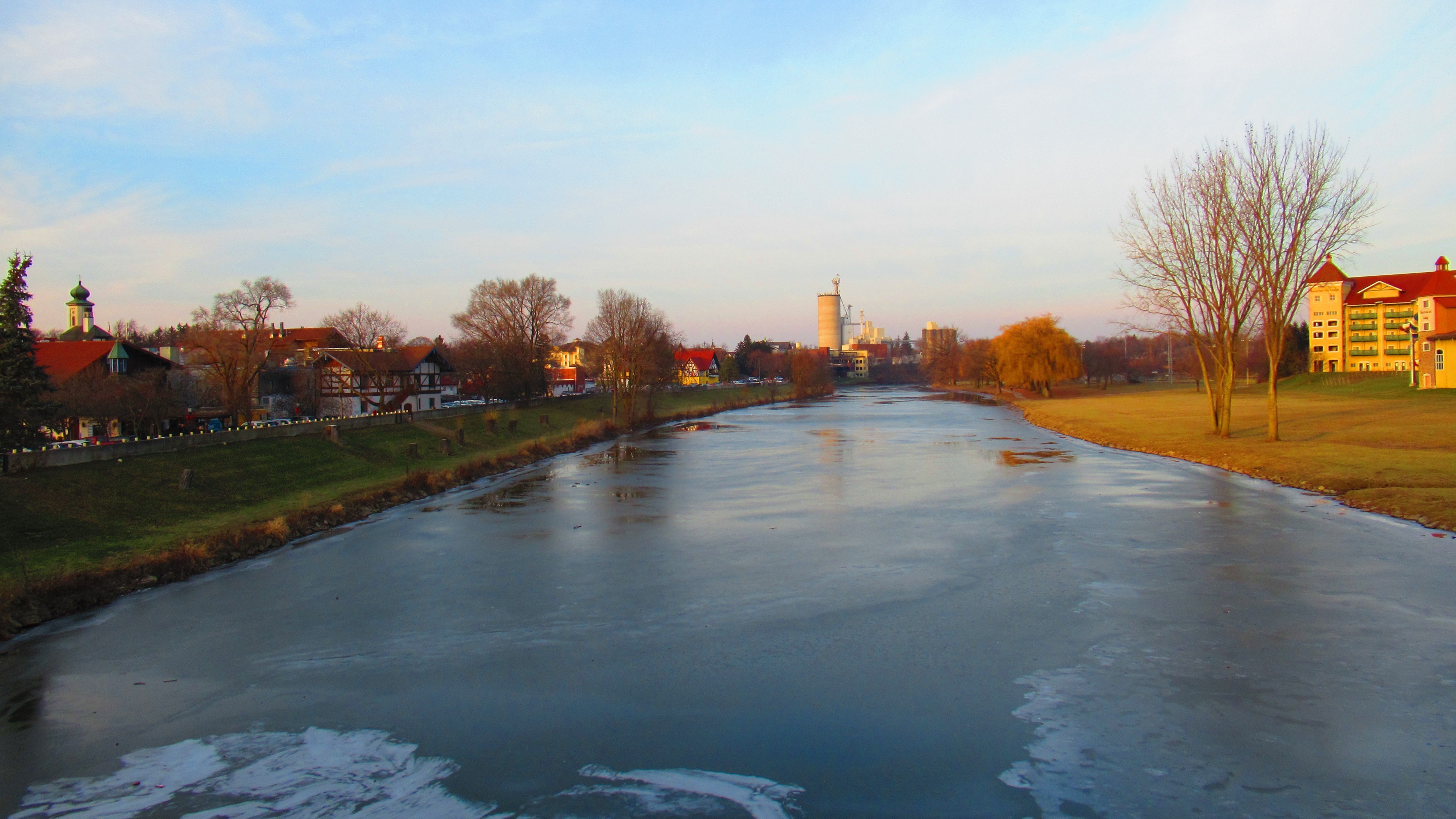
Photo: Notorious4life, Wikimedia Commons, CC0
The Cass River is the Thumb's paddling river, and it comes with something most Michigan rivers don't: a fully signed 37.5-mile water trail with measured mileages between every access point. From the M-46 bridge east of Vassar down through Tuscola, Frankenmuth, and the Saginaw-area parks to Wickes Park, the trail maps the river mile by mile, so planning a trip is as simple as picking your start and end points and reading the distance off the map.
The river itself is gentle and winding — a classic warmwater stream through farmland and small towns, with a current that keeps you moving without demanding much of you. The Frankenmuth reach is the scenic highlight: paddling past Heritage Park through Michigan's "Little Bavaria," with its covered-bridge and old-mill backdrop, is one of the most charming urban floats in the state. Downstream, the Saginaw County parks — Hoffman, Davis, and the M-13 launch — string together easy day trips on the river's lower half.
At a Glance
- Approximate length: 37.5-mile signed water trail, M-46 to Wickes Park
- Difficulty: Beginner — gentle, winding flatwater
- Water character: Warm, slow river through farmland and small towns
- Best season: May through October; summer for warm, easy floats
Paddling Sections
M-46 Bridge → Vassar → Tuscola Township
Put-in: M-46 Bridge | Take-out: Tuscola Township park | Distance: 6.3 miles to Vassar, then 5.7 miles to Tuscola
The upper trail: launch at the M-46 bridge and paddle 6.3 miles to Vassar's Riverside Park/Campground, then continue 5.7 miles to the Tuscola Township access. Easy water through a mix of woods and farmland.
Tuscola → Frankenmuth (Heritage Park)
Put-in: Tuscola Township | Take-out: Heritage Park, Frankenmuth (43.3289, -83.7347) | Distance: 5 miles, plus a 1.5-mile round-trip city paddle
The prettiest five miles on the river, ending in Frankenmuth. Once there, Heritage Park makes a fine base for the 1.5-mile round-trip city paddle past the town's Bavarian landmarks — or just pull the boats out and get lunch.
Frankenmuth → Hoffman → Davis → M-13 → Wickes Park
Put-in: Frankenmuth | Take-out: Wickes Park | Distance: 6 miles to Hoffman, 4.4 to Davis, 5.6 to M-13, 3.5 to Wickes
The lower trail strings together Saginaw County's river parks: 6 miles to Hoffman Community Park, 4.4 more to Davis Park, 5.6 to the M-13 boat launch, and a final 3.5 to Wickes Park. Pick any two parks for a perfect day trip with easy shuttles.
Hazards & Portages
The Cass is a genuinely low-hazard river: no dams on the water-trail reaches and no rapids. The things to watch are the usual warmwater-river concerns: downed trees and logjams after storms (the river winds enough that a blockage can hide around any bend), shallow riffles in late summer, and the occasional bridge abutment to steer around. This is an agricultural watershed, so water clarity drops after heavy rains — check recent rainfall before planning a trip, and give the river a day or two to settle after a big storm.
Access & Parking
The water trail's signed accesses make this one of Michigan's easiest rivers to plan: M-46 Bridge, Riverside Park/Campground and Memorial Park in Vassar, Tuscola Township, Heritage Park in Frankenmuth (with parking, restrooms, and town amenities), Hoffman Community Park, Davis Park, the M-13 boat launch, and Wickes Park. Most launches are free with parking; the Saginaw County parks may have vehicle entry requirements.
Map
Paddle the Cass with West Michigan Kayaking Club
Find trip dates on the club's river guide and connect with fellow paddlers in our Facebook group.
Lower Peninsula River Guide Join Our Facebook Group