
Grand River
Michigan's longest river — big-water paddling with limestone ledges, historic dams, and a Great Lake finish
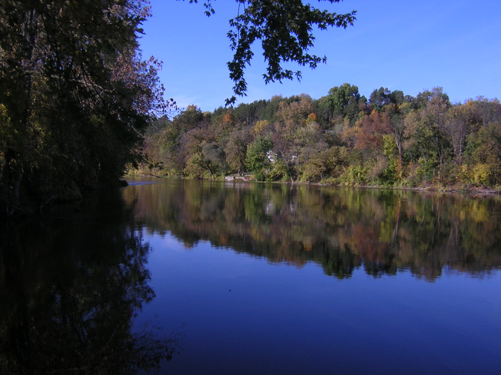
Photo: Lar, Wikimedia Commons, CC BY 2.5
The Grand River is Michigan's longest river, running roughly 260 miles from its headwaters near Jackson all the way to Lake Michigan at Grand Haven. For West Michigan paddlers it is the home river: it flows through Lansing, Portland, Ionia, Lowell, Ada, and Grand Rapids before widening into a broad, lake-like lower reach past Spring Lake and into Grand Haven. Because the river changes character so much along its course, you can choose anything from a quiet wooded float to a big-river expedition — all on the same waterway.
The Middle Grand River Water Trail anchors the Lansing-to-Portland corridor with a string of developed carry-in launches — McNamara Landing, Burchfield Park, Delta Mills, Jaycee Park in Grand Ledge, and more — making shuttles easy and trips flexible. Downstream, the Grand Ledge area is famous for its limestone ledges, a rare bit of rocky scenery on an otherwise sandy-bottomed river. And at the far western end, the lower Grand near Grand Haven offers wide, slow paddling with marinas, waterfront parks, and the option to finish your trip at Lake Michigan.
At a Glance
- Approximate length: ~260 miles, Jackson to Grand Haven (longest river in Michigan)
- Difficulty: Easy flatwater to Class I; the downtown Grand Rapids dam requires a mandatory portage
- Water character: Medium river with wooded banks mid-course; broad, lake-like lower river with motorboat traffic
- Best season: May through October; avoid high, fast water after heavy rains
Paddling Sections
McNamara Landing → Burchfield Park (Lansing area)
Put-in: McNamara Canoe Landing, 6450 W Columbia Rd | Take-out: Burchfield Park | Distance: A few miles of easy river
A classic Lansing-area float through riverside parkland. McNamara Landing is a carry-in launch with an ADA-accessible kayak launch, and the river here is gentle and scenic — a great beginner trip or evening paddle.
Delta Mills → Grand Ledge (the Ledges)
Put-in: Delta Mills Park, Delta Township (42.7607, -84.6500) | Take-out: Jaycee Park, Grand Ledge (525 E River St)
Delta Mills offers an ADA kayak launch, and downstream the river slides past the famous Grand Ledge limestone ledges — 300-million-year-old rock outcrops that are a highlight of the whole river. Easy water with one of the prettiest backdrops in mid-Michigan.
Portland → Webber Dam → Lowell
Put-in: Portland Dam downstream access | Take-out: Lowell boat ramp
This stretch threads through quiet farmland and small towns. Note the dams: Portland Dam and Webber Dam both require portages — use the signed upstream and downstream access points, never attempt to run a dam.
Riverside Park → Grand Haven (Lower Grand)
Put-in: Riverside Park, Ottawa County | Take-out: Grand Haven / Lake Michigan
The lower Grand is wide and slow — almost lake paddling. Head west toward Grand Haven and you can paddle all the way out to Lake Michigan on calm days. Watch for motorboat wakes and stay clear of shipping lanes near the river mouth; the Knapp Street Bridge DNR launch (43.0055, -85.5418) and Bruce's Bayou launches offer alternative put-ins in this corridor.
Hazards & Portages
Dams are the defining hazard on the Grand: the North Lansing Dam, Portland Dam, and Webber Dam all have signed portages — plan your take-outs accordingly, and treat every dam as a hard stop. The dam in downtown Grand Rapids requires a mandatory portage; do not attempt to paddle through the city center dam area. After heavy rain the river can run fast and high, carrying woody debris and trash — check gauges before launching. On the lower river, motorboat wakes and wind-driven chop are the main concerns, and paddlers should be aware of currents and shipping lanes near the Lake Michigan mouth.
Access & Parking
The Middle Grand River Water Trail is one of Michigan's best-signed paddling corridors: McNamara Landing, Bunker Road, Riverbend/Burchfield, Moores Park, Delta Mills (ADA launch), Willow, Jaycee Park, Island Park, and Fitzgerald Park all offer carry-in access with parking. DNR hard-surface ramps at Knapp Street Bridge and Bruce's Bayou (east and west) serve the lower river. Many launches are free; DNR sites require a Michigan Recreation Passport.
Map
Paddle the Grand with West Michigan Kayaking Club
Find trip dates on the club's river guide and connect with fellow paddlers in our Facebook group.
Lower Peninsula River Guide Join Our Facebook Group