Rogue River
A designated Country Scenic river — crystal-clear, shallow, and perfect for beginners near Rockford
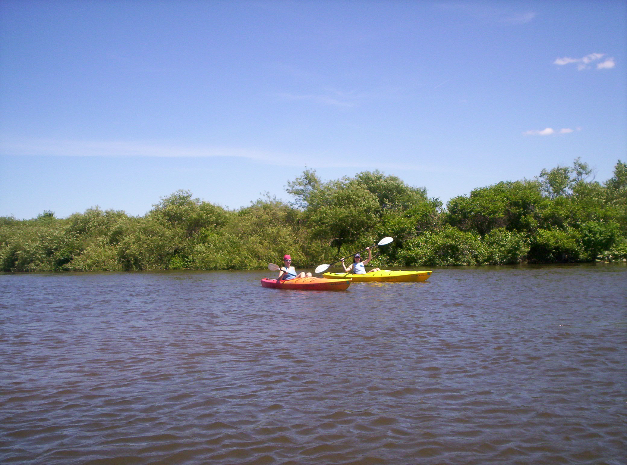
Photo: XXN, Wikimedia Commons, Public Domain (representative Michigan river scene — no freely-licensed photo of the Rogue River itself was available)
The Rogue River — Michigan's Rogue, not Oregon's — rises in southern Newaygo County and meanders about 42 miles to join the Grand River at Belmont, just north of Grand Rapids. Designated a "Country Scenic" river under Michigan's Natural River Act, it drains a 234-square-mile watershed of cold, spring-fed water. Paddlers consistently describe it the same way: crystal clear, only a couple of feet deep, and slow-moving — the rare combination that makes it genuinely ideal for beginners learning to kayak.
In the city of Rockford, the river is split by the Rockford Dam into the upper and lower Rogue. The upper Rogue is a noted trout fishery and the reach used for nearly all float trips; the lower Rogue below the dam draws anglers for the spring steelhead and fall salmon runs. AAA Canoe & Kayak Rentals in Rockford has run trips on the river for over 45 years, offering 2- to 4-hour floats that are the standard introduction to the river. For West Michigan Kayaking Club members based around Grand Rapids, this is the closest thing to a home-town beginner river.
At a Glance
- Approximate length: ~42 miles, southern Newaygo County to Belmont
- Difficulty: Beginner — shallow, slow, clear water (upper river)
- Water character: Spring-fed, crystal clear, typically only a couple of feet deep
- Best season: May through October; spring offers the best water levels
Paddling Sections
Rockford Float Trips (Upper Rogue)
Put-in: AAA Canoe & Kayak Rentals, 525 Northland Dr, Rockford | Take-out: Rockford area landings | Distance: 2–4 hour trips
The standard Rogue experience: liveries shuttle you upstream and you float back down through Rockford on clear, shallow water. Expect some highway noise at the start that fades as the river quiets downstream. A great first-kayak trip — reviewers consistently call it a good place for beginners to learn.
Rockford Dam Boat Launch → Lower Rogue
Put-in: Rockford Dam carry-in launch (43.1202, -85.5615) | Take-out: Downstream landings toward Belmont
Below the Rockford Dam, the river continues its lazy course toward its confluence with the Grand River at Belmont. This is fishing water — steelhead in spring, salmon in fall — so expect company from anglers and give them room. The current stays slow and the depth stays shallow.
Hazards & Portages
The Rockford Dam is the one hard hazard on this river — it bisects the paddling reaches, and you must portage around it; never attempt to run or closely approach a dam. Otherwise the Rogue is about as forgiving as rivers get: the main annoyances are occasional strainers and downed limbs in the narrower upper bends. In spring and fall, anglers line the banks — paddle quietly past and keep your distance from fishing lines.
Access & Parking
The city-owned Rockford Dam boat launch (carry-in, limited parking) is the most central public access. Liveries along Northland Drive in Rockford provide launches, rentals, and shuttle service for a fee — the simplest option if you don't want to run your own shuttle. Additional road-crossing access exists upstream in the Newaygo County headwaters area, though parking there is informal.
Map
Paddle the Rogue with West Michigan Kayaking Club
Find trip dates on the club's river guide and connect with fellow paddlers in our Facebook group.
Lower Peninsula River Guide Join Our Facebook Group