Trip Report | Published November 4, 2026
Thornapple River: Vermontville Highway to Nashville
An adventure paddle on our easternmost stretch of the Thornapple River, with wood to hop, duck under and portage.
On Memorial Day weekend Sunday, Tim Postma and I pushed off at W Vermontville Hwy for what turned out to be a true adventure paddle. This was our easternmost venture on the Thornapple River, taking us from the Vermontville Highway bridge crossing to the Nashville Dam boat launch. Eight miles on the map took us six hours on the water, with no lunch stop, two portages, a few log underneaths and more log hops than we could count.
The Paddle
1. Launching at W Vermontville Hwy
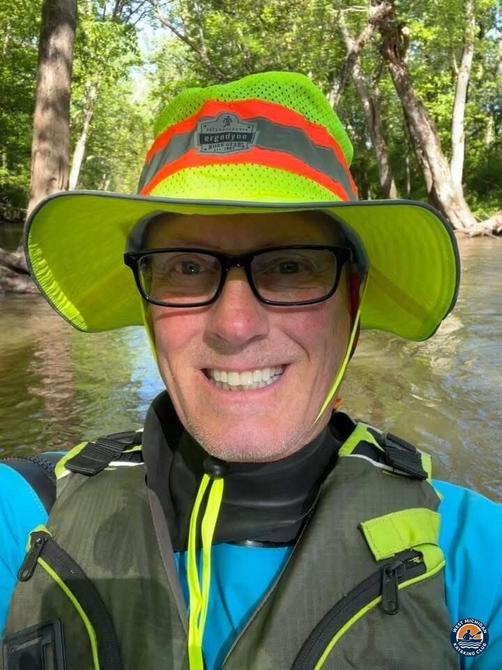
We started at the highway crossing, the farthest upstream point we have launched on the Thornapple. Narrow, winding water and a lot of wood in the channel told us right away that this would be a working day, not a drift.
2. Log hops and log underneaths
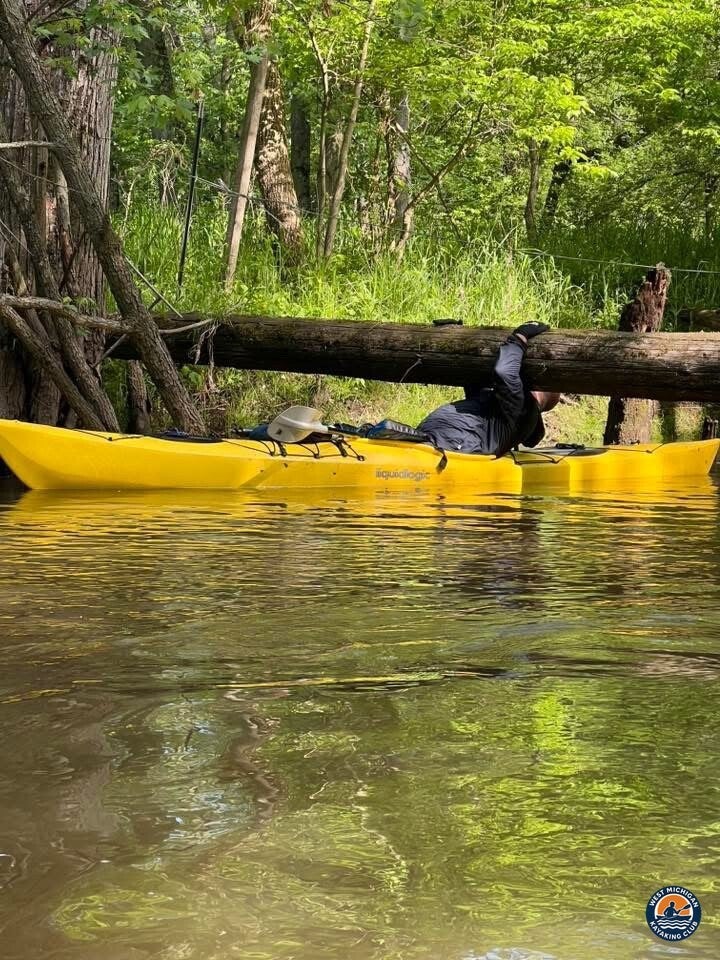
Wood in the water set the rhythm of the day. We hopped numerous logs, slid under a few, and read the river constantly to decide which obstacles to run and which to avoid. It slowed us down, and it was a big part of the fun.
3. Two portages and one more flip
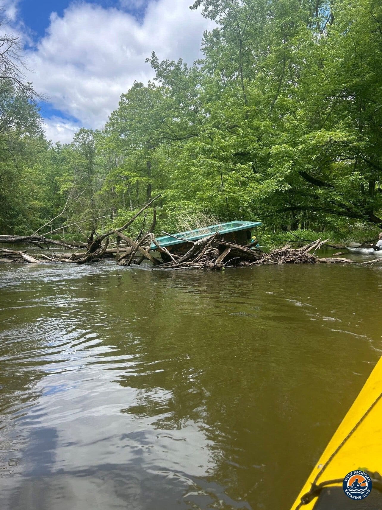
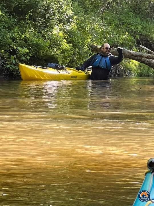
Two spots called for getting out and carrying around. And yes, I flipped again. Tim got a good laugh out of it, and so did I, after the water drained out of my boots.
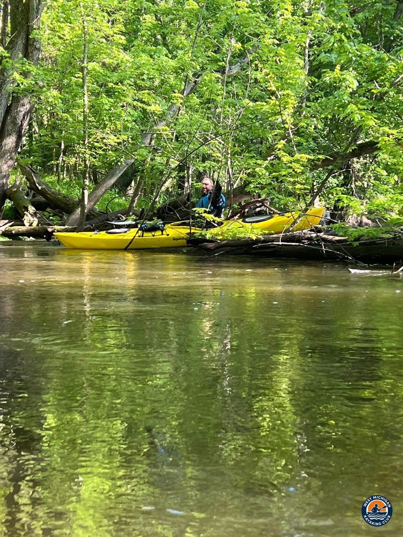
4. Quiet scenery and the Nashville takeout
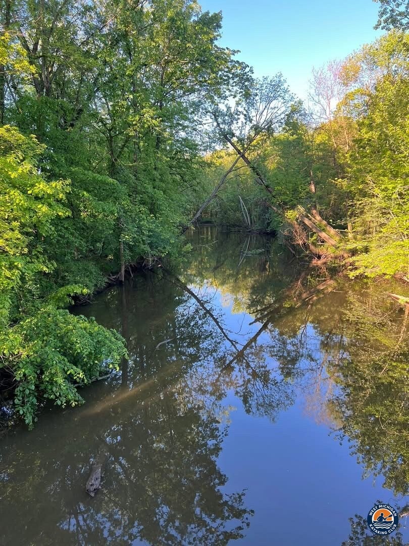
There was not much wildlife on the water this time, but the scenery was beautiful the entire way. We finished at the Nashville Dam boat launch tired, wet and happy. The adventure was a big success.
USGS Flow
Recorded flow, May 25, 2025: 344 cfs daily mean discharge at USGS 04117500, Thornapple River near Hastings. Gage height: [not available] — USGS publishes no daily gage-height values for this gage.
The USGS gage at W Vermontville Hwy (04116800) has no continuous data today, so this report uses the nearest active Thornapple River gage, USGS 04117500 near Hastings, which sits downstream of Nashville. Only recorded USGS values are used here.
USGS 04117500, Thornapple River near Hastings (daily values)
Historical Weather
Rain on the paddle day: The CoCoRaHS rain gauge at Hastings 2.1 WNW (station adam054) recorded 0.02 inches for the 24 hours ending 7:00 AM on May 26, 2025, so the trip day was nearly dry.
Rain the day before: The same gauge recorded 0.46 inches for the 24 hours ending 7:00 AM on May 25, 2025, so the river started the day after a rainy Saturday.
Recorded temperature and wind for the trip day: High 68°F, low 40°F. Average wind 6.1 mph from the northwest; highest sustained wind 17 mph and highest gust 24 mph, both from the northwest. No significant weather was observed.
Sources: rainfall from CoCoRaHS Data Explorer, station adam054 (Hastings, Barry County); temperature and wind from the National Weather Service Climate Report for Grand Rapids (KGRR), May 25, 2025. Recorded observations only.
Technical Trip Information
| Date | May 25, 2025 |
|---|---|
| River | Thornapple River, Eaton and Barry Counties, Michigan |
| Launch |
W Vermontville Hwy bridge crossing, near Vermontville GPS: 42.6264, -84.9630 |
| Takeout | Nashville Dam boat launch, Nashville GPS: 42.6083, -85.0917 |
| Distance | 8 miles |
| Time on water | 6 hours, no lunch stop |
| Obstacles | 2 portages, a few log underneaths, numerous log hops |
| Water classification | Class I (American Whitewater scale) |
| Paddlers | Tim Postma and Brad De Young |
Launch coordinates are the W Vermontville Hwy crossing at the USGS gage location (accurate to about one second). Takeout coordinates are the Nashville Dam location from the National Inventory of Dams. Confirm the exact parking and put-in spots on a map before you go.
Safety
- Wood is the main hazard on this stretch. Scout every log, never run a strainer, and portage when you are unsure.
- Wear your life jacket for the entire trip and carry a throw rope, whistle and a change of dry clothes.
- Check current USGS flow before you go. Higher water makes wood harder to read and clear.
- Budget extra time. Eight miles took us six hours.
More Than the Miles
This paddle was about problem solving, teamwork and laughing at ourselves. Every obstacle was a small puzzle we solved together.
- 8 miles from W Vermontville Hwy to the Nashville Dam boat launch
- 6 hours on the water, no lunch stop
- 2 portages, a few log underneaths and numerous log hops
- One more flip, and plenty of laughs
- Beautiful scenery from start to finish
Thank you to Tim Postma for paddling every log, carry and laugh of this one with me.
More Than Just a Kayaking Club
West Michigan Kayaking Club is a community of active paddlers who share rivers, challenges and good stories. Membership and participation are 100% free.
Wild Rivers. Rugged Trails. Real Adventure.