Oct 31, 2026
Kayakers Journal | Trip Story | Wild Rivers. Rugged Trails. Real Adventure.
One hundred twenty miles, six dams, and a river that changes its personality three times before it reaches the Great Lake.
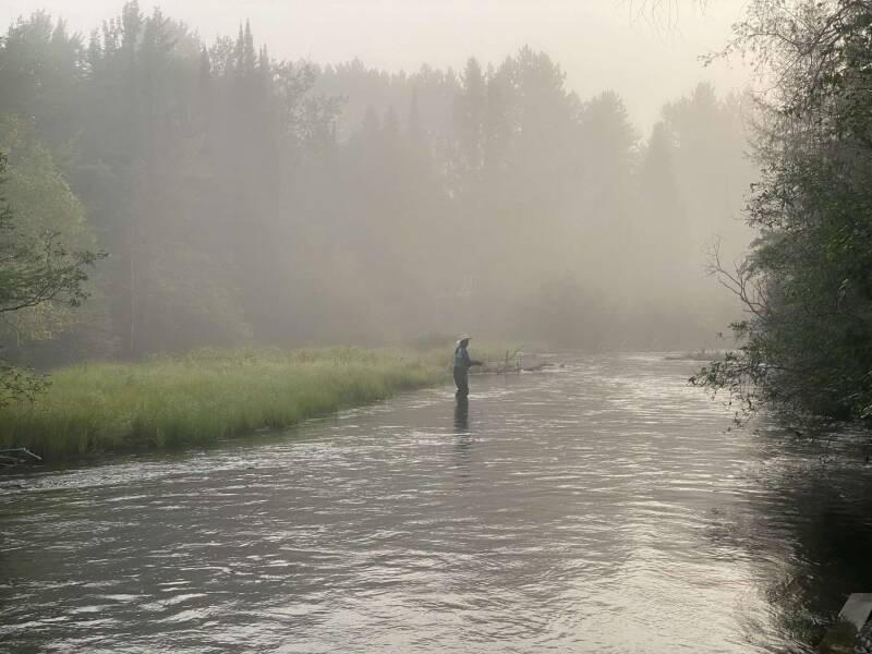
A lone fly angler stands mid-river in the morning mist on the Au Sable.
Before the Sun Clears the Pines
There is a moment, just after six in the morning in Grayling, when the Au Sable belongs to nobody. Mist hangs over the water behind the old livery docks on Maple Street. A heron stands knee-deep on a sandbar, unbothered. You slide your kayak off the dock, and the current takes the bow before you've even picked up your paddle.
The French named it the Rivière au Sable — the river of sand — and you can see why in the first hundred yards. The bottom is pale sand and gravel, the water so clear you count the stones beneath your hull. It is cold, spring-fed water that has been running this course since long before the loggers came, and it is still running it now.
The Au Sable is Michigan's classic expedition river. It runs about 138 miles from its headwaters north of Grayling to Lake Huron at Oscoda, and roughly 120 of those miles are paddleable — the same course the world's toughest canoe racers attack every July. By kayak, the whole thing takes most people five to seven days. You don't have to do all of it. But once you've paddled one piece, you start wondering about the rest.
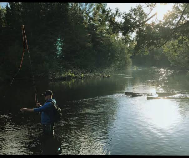
First light on the upper river — a fly angler casts as the sun breaks through the pines.
The Holy Waters
Eight miles and about two and a half hours below Grayling, you reach Burton's Landing, and the river takes on a reverence of its own. The nine miles from Burton's to Wakeley Bridge are known to anglers everywhere as the Holy Waters — some of the most celebrated trout water in North America. Wild brook trout hold in the riffles, and brown and rainbow trout over 20 inches hide under the cedar sweepers.
This is shared water, and it asks for good manners. Fly anglers stand mid-river in waders, and long, narrow Au Sable riverboats drift past with a guide at the pole. You pass on the side opposite their line, single-file, voices down. Most of them nod. A few point you around the best run with a grin. In June, as the light fades, Hendrickson and then the giant Hex mayflies rise off the water in clouds, and the anglers come out for the night.
Below Wakeley, the river grows. It deepens and widens through the Huron National Forest, picks up the South Branch and North Branch near McMasters Bridge, and slips past canoe camps with names that sound like summers past: White Pine, Rainbow Bend, Parmalee Bridge. Some of them can only be reached by water. Pull in at dusk, hang the food bag high — the bears and raccoons know where the paddlers sleep — and fall asleep to the sound of moving water.
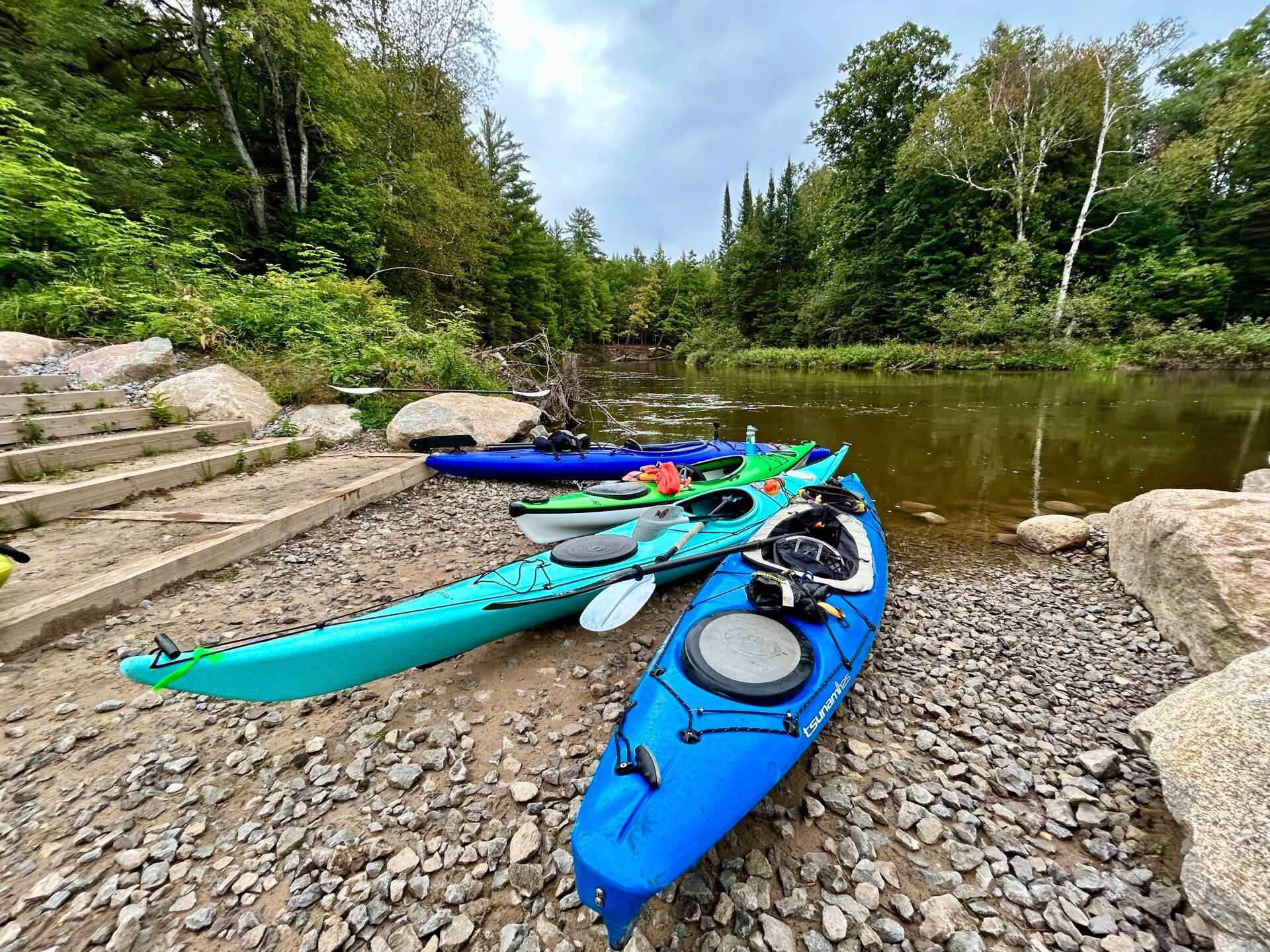
Kayaks staged at a gravel launch, ready to push off.
Mio and the National Scenic River
The river slows as it backs up into Mio Pond, and then you meet the first of the six dams. Mio Dam was built in 1917, and its portage runs about 625 feet. With a kayak cart and two or three big dry bags, it's a short walk. Without them, it's a lesson you only need once.
Below the dam, the Au Sable changes again. The water that comes out of Mio is cold, even in July, and on cool mornings fog sits on the surface until the sun burns through. This is the start of the Au Sable National Scenic River: 23 miles from Mio to Alcona Pond, protected by Congress since October 4, 1984. The river is wider here, the current steady, and national forest crowds both banks.
Bald eagles are a common sight now. Beaver slides mark the mud banks, and spring water trickles out of the hillsides below the bluffs. From the water you can look up at the Highbanks Overlook, a hundred feet above the river. From McKinley Bridge to the 4001 Bridge is about seven and a half miles of the best paddling on the river — about two hours with the current under you.
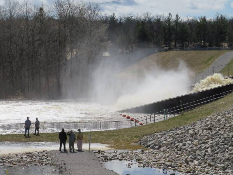
The river boils through the gates at Mio Dam — the first of six dam portages on the way to Lake Huron.
The Wild Reach and the Big Ponds
Past Alcona Pond and the 675-foot Alcona Dam portage lies the stretch many paddlers call the best on the river. From Alcona Dam to Loud Dam is about 15 miles — 12 of river and 3 of pond — through a semi-primitive, non-motorized area with almost no development. No cottages. No roads in sight. Just pine, sand bluffs and the hiss of current over sunken logs. The primitive campsites here need a permit from May 15 to September 10, and they fill fast for good reason.
Then the river turns into a different kind of challenge. Loud Dam has the longest carry of the six, about 800 feet. Below it come the ponds: Five Channels, where the water splits into five distinct channels that swing you from headwind to crosswind and back; then Cooke Pond, behind the first hydro dam ever built on the Au Sable in 1911; and finally Foote Pond, wide and open, where afternoon west winds throw side waves at your hull.
The lesson of the ponds is simple: cross early. Morning glass turns to whitecaps by mid-afternoon, and on a windy day these reservoirs feel like a Great Lake bay. Hug the shore, stay together, and remember that the Au Sable may be rated Class I, but Class I is not the same as easy.
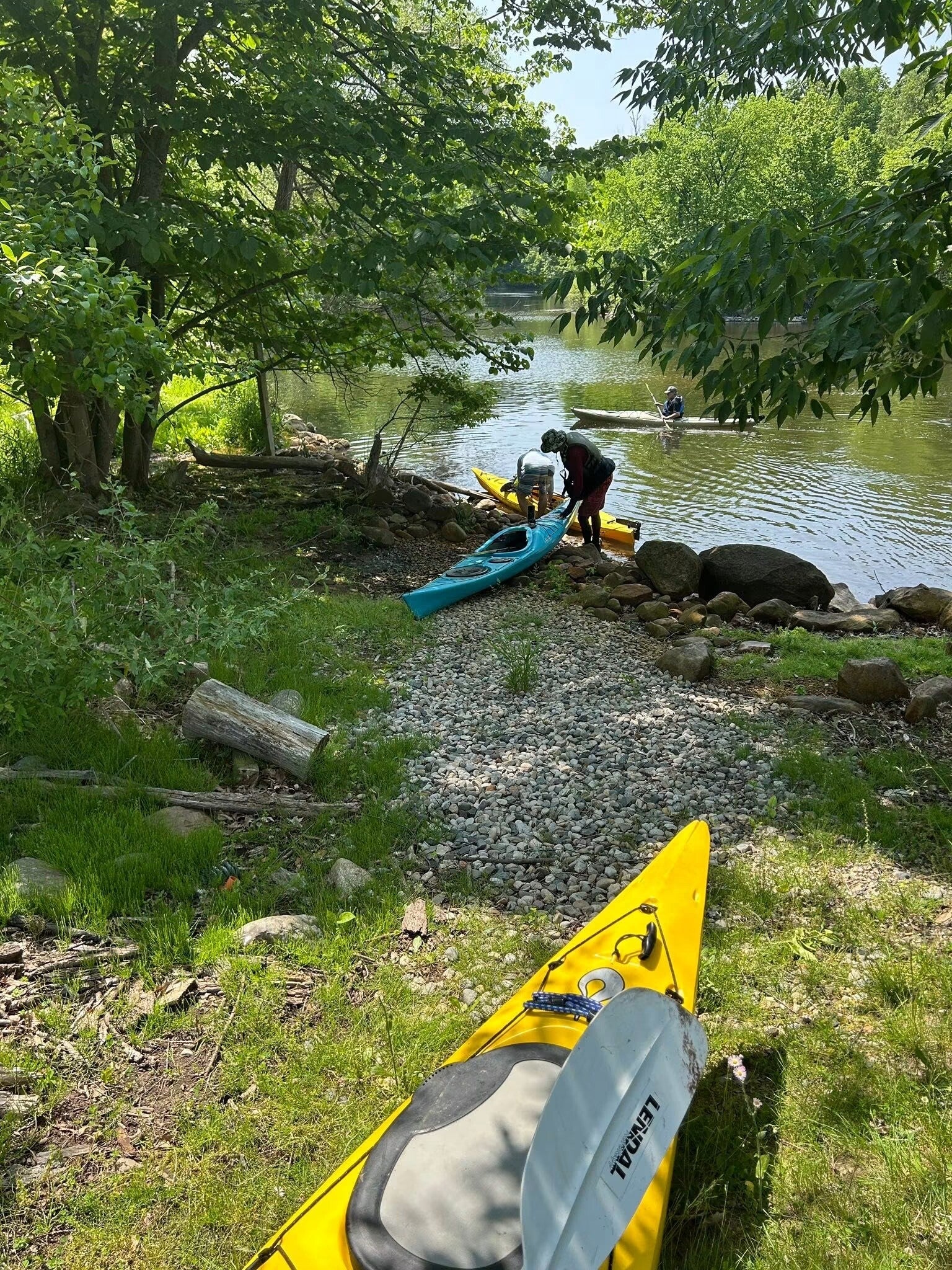
Paddlers pause at a shaded gravel landing along the wild reach.
The Last Miles to Lake Huron
The Foote Dam portage is the last one, about 225 feet, and when you drop back into the river below it, you can almost smell the big lake. The final 12 miles to Oscoda take about four hours. Sand dunes rise off the banks, and the bluffs above carry the River Road National Scenic Byway. Up there stand Lumberman's Monument, honoring the men who once drove white pine down this same current, and the Canoer's Memorial, looking out over Cooke Pond in tribute to the marathon racers.
That race is part of the river's soul. Since 1947, the Au Sable River Canoe Marathon has sent two-person canoe teams off from Grayling at 9 p.m. on the last full weekend in July. They sprint to the water, paddle through the night, portage all six dams in the dark, and the leaders reach Oscoda around 11 the next morning. What takes us a week, they do in about 15 hours. Paddle the river once, and you'll understand why spectators stay up all night to cheer them.
In September and October, salmon push upstream below Foote Dam, and the hardwoods on the bluffs turn gold and red. Past the Whirlpool, a counter-rotating eddy that gives the landing its name, the river widens and slows. Cottages appear. A bridge, a city park, and then the Au Sable does what it has been trying to do since Grayling: it pours into Lake Huron.
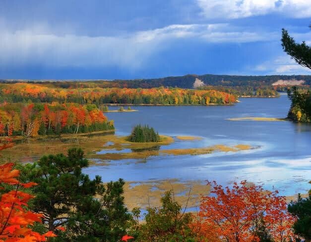
Fall color over the big water — one of the Au Sable's ponds under a storm-dark sky.
Make It Your Trip
You don't need a week to meet the Au Sable. Start with one of these:
- First paddle: Grayling to Burton's Landing — 8 miles, about 2.5 hours, shallow and clear. Club level 1, Beginner.
- Big day: Foote Dam to Oscoda — 12 miles, about 4 hours, dunes and fall color. Club level 2, Intermediate.
- First overnight: Alcona Dam to Loud Dam — about 15 wild miles with a primitive campsite in between. Club level 2–3.
- The whole river: Grayling to Lake Huron — about 120 miles, six portages, five to seven days. Club level 3, Expert.
Before you go: check the USGS gages at Grayling, Red Oak and Mio; bring a kayak cart for the portages; wear your PFD, because the water below Mio stays cold all summer; launch early on summer weekends; and leave a trip plan, since cell service disappears for long stretches below Mio. For every launch, campsite, permit and paddle time, see our full Au Sable River guide in this issue of the Kayakers Journal.
The Au Sable taught generations of Michigan paddlers what a river can be. It still does. Go find out for yourself.
— West Michigan Kayaking Club
Wild Rivers. Rugged Trails. Real Adventure.
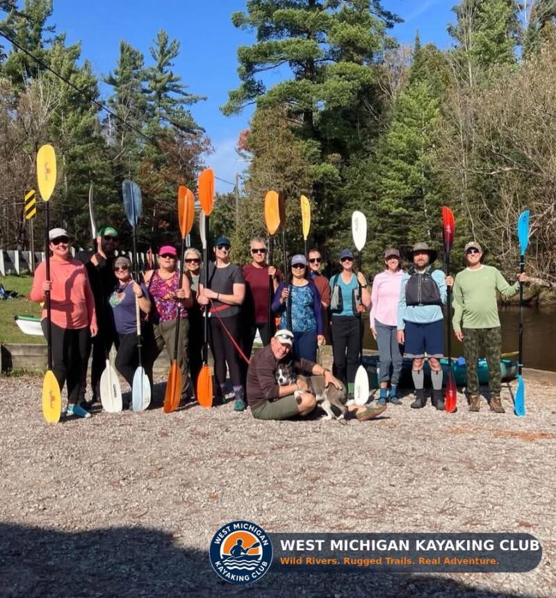
Paddles up — West Michigan Kayaking Club on the Au Sable.
Come Paddle With Us
West Michigan Kayaking Club is a Grand Rapids–based club of active paddlers, founded in 2019. We run trips across Michigan — 76 club-sponsored trips in 2026 alone — from beginner day paddles to multi-day kayak camping and hiking adventures on rivers like the Au Sable. Membership and every club event are 100% free; all you need to bring is a boat and a sense of adventure.
- Visit our website: westmichigankayakingclub.online
- Join our Facebook group: https://www.facebook.com/share/g/1BzMvdB4FU/?mibextid=wwXIfr
Wild Rivers. Rugged Trails. Real Adventure.
Keep Exploring

Add comment
Comments