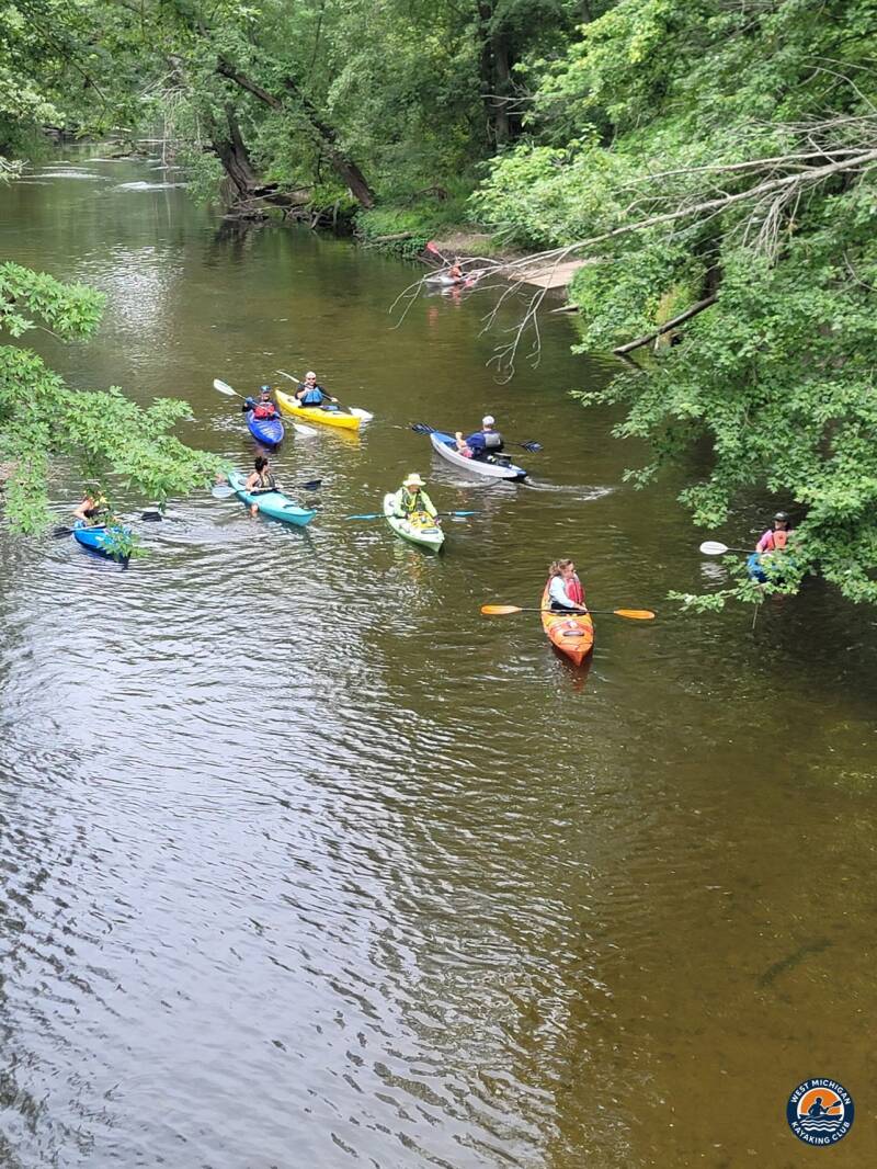
Michigan is a freshwater state twice over — two peninsulas, ringed by Great Lakes, and almost every mile of both peninsulas drains somewhere. Follow that drainage downhill and you get rivers: thousands of miles of them, running through pine plains, hardwood hills, farm country, and city centers on their way to the lakes. Michigan river kayaking is not one experience. It is dozens, and the differences come down to water — where it comes from, how fast it moves, and which lake it is headed for.
This is an introduction to the state's river systems through six rivers our club paddles and writes about all season: the Grand, the Muskegon, the Manistee, the AuSable, the Shiawassee, and the Boardman. Learn how these six differ, and you will understand most of what Michigan has to offer a paddler.
Michigan River Kayaking Starts With the Glaciers
Every Michigan river is a leftover of the last ice age. The glaciers scraped, dumped, and rearranged this landscape, and when the ice pulled back it left a rumpled interior — uplands across the northern Lower Peninsula and much of the Upper Peninsula — ringed by the Great Lakes. Rivers took the hint and flowed outward, downhill in every direction toward the nearest big water.
That is why Michigan paddling sorts itself by destination. The Grand, Muskegon, and Manistee run west and southwest to Lake Michigan. The Boardman takes a shorter route to Grand Traverse Bay, also Lake Michigan water. The AuSable runs east across the state to Lake Huron, and the Shiawassee flows north into the Saginaw River system, bound for Saginaw Bay. Pick a lake basin and you have already picked a general direction, a landscape, and a kind of trip.
Geology picks the character, too. Much of the northern Lower Peninsula is sand and gravel left behind by glacial meltwater, and that porous ground acts like a reservoir: it soaks up rain and snowmelt and feeds it back to the rivers as groundwater, cold and steady all summer. Those are Michigan's classic trout streams. Farther south, rivers drain clay soils and farm country — warmer water, more rise and fall with the weather, wooded corridors winding through fields. Same state, same rainfall, completely different rivers. Once you see that pattern, a map of Michigan stops being a list of names and starts being a menu.
The Grand River: Michigan's Longest
At roughly 252 miles, the Grand is the longest river entirely within Michigan, running from the lake country of the south-central Lower Peninsula northwest through Grand Rapids and out to Lake Michigan at Grand Haven. It is a big valley river — farmland and small towns up high, a genuine city river in the middle, wide and deliberate below town as it approaches the lake.
Because it changes personality along its length, the Grand is a fine first education in Michigan river kayak trips: quicker and narrower in its upper reaches, broader and more level-dependent downstream. Our Grand River guide covers its stretches and access in detail.

The Muskegon River: A Long Run to the Big Lake
The Muskegon runs about 227 miles from the Houghton Lake area southwest to Muskegon Lake and Lake Michigan. It is one of the state's great all-purpose rivers — cold tributaries feeding a main stem that alternates between quiet impounded stretches and free-flowing runs, with wooded banks, sandbars, and well-earned reputations among anglers in steelhead and salmon seasons.
For paddlers, Muskegon River kayaking is where many West Michigan boaters graduate to longer days: enough current to cover real distance, enough variety to stay interesting, and a lower river that feels properly big as it nears the lake. The club's Muskegon River guide breaks the river down section by section.
The Manistee River: Big Water Through the Pines
The Manistee covers roughly 232 miles from its headwaters in the northern Lower Peninsula to the city of Manistee on Lake Michigan. For much of its length it crosses the sandy pine plains and national forest land of the northwest Lower Peninsula, and it carries a wilderness mood out of proportion to how reachable it is — wide, steady, and green, with long stretches where the only company is herons, eagles, and the occasional deer at the bank.
This is also one of Michigan's true multi-day rivers, and Manistee River kayaking anchors our club's expedition calendar: in recent seasons we have run multi-day trips down it, camping along the way and covering the river in full-day pulls. Our Manistee River guide has the section-by-section detail for planning your own version.
The AuSable River: East to Lake Huron
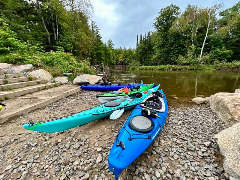
The AuSable breaks the west-flowing pattern. It runs about 138 miles from the Grayling area straight east to Lake Huron at Oscoda, and nearly everything about it is different: spring-fed, cold, and clear, with gravel runs and deep bends that have made it famous as trout water for well over a century. Each summer the Au Sable River Canoe Marathon — the official name keeps the traditional spelling — sends racers down its full length in one of the best-known canoe marathons in North America, but the river rewards a slower pace just as well.
Much of the middle river winds through Au Sable State Forest and national forest land, through country our club knows firsthand: we spent four days paddling and camping along the AuSable this past October, when the maples were turning and the morning water was colder than the air. It is the clearest example in the state of what a groundwater-fed river feels like — steady levels, cold water, and a bottom you can read like a map.
The Shiawassee River: Mid-Michigan's Heritage Water Trail
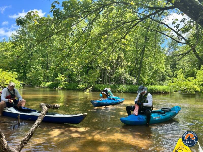
The Shiawassee is the quiet one of the six, and that is its charm. Rising in the lake country of southeast Michigan, it flows north through farmland and wooded corridors as part of the Saginaw River watershed — Huron-bound water by way of Saginaw Bay. The river is designated a National Heritage Water Trail, one of Michigan's recognized water trails, and its character matches the title: gentler current, heron rookeries and hardwood shade, small towns instead of big scenery.
Shiawassee River kayaking is accessible, unhurried Michigan — and it still adds up. This past August our club paddled 18 to 19 miles of it in a day, from Byron to SHIATown Park, and wrote up the whole trip, gauges and all, in our Shiawassee River trip report.
The Boardman River: A River Being Reborn
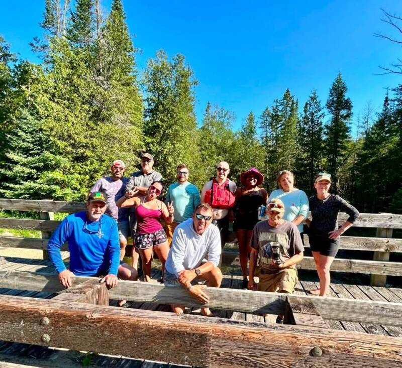
The Boardman is the shortest river on this list and the biggest story. It flows through Traverse City into Grand Traverse Bay, and for generations it was a working river, dammed in several places along its length. Over the past decade and more, those dams have been coming out — one of the most closely watched river restoration efforts in the state — reconnecting the Boardman from its cold headwater branches to the bay for the first time in well over a century.
For paddlers, that means Boardman River kayaking now runs through a corridor that is actively healing: cold, clear water, recovering banks, and stretches that feel wild minutes from a small city. It is proof that a Michigan river's story does not have to be finished — and a good reminder that the rivers we paddle are the ones people chose to take care of.
One More Peninsula to Go
Everything above is Lower Peninsula water. Cross the Mackinac Bridge and the Upper Peninsula runs on different geology again — older rock, more gradient, shorter and wilder rivers dropping to Lake Superior, Lake Michigan, and Lake Huron. The UP deserves its own article, and it will get one later in this series; for now, our Upper Peninsula river guide is the place to start browsing what is up there.
Before You Pick a River, Learn to Read One
Six rivers, six personalities — but the same homework applies to all of them. Michigan rivers run highest and coldest in spring, drop through summer, and answer quickly to heavy rain. Before any trip, check the level: the U.S. Geological Survey publishes real-time gauge data for rivers across the state, and our current water levels page gathers the gauges paddlers here actually use. Flows are reported in cubic feet per second — how much water passes a point each second — and a little time with the gauges will teach you what a given number means on a given river faster than any description can.
Then the basics, every time: wear a properly fitted PFD, file a trip plan with someone on shore, dress for the water temperature rather than the air, and launch and land at public access — much of Michigan's riverbank is private, and public access is common on the lower stretches of most of these rivers but is never something to assume. The Michigan Department of Natural Resources is the authority for state boating rules and public access programs. For launch-by-launch detail — access points, stretch lengths, hazards, camping — that is exactly what our river guides are for.
Exploring the State One River at a Time
That is the method, if you want one: pick a basin, paddle a river in sections, keep notes, and let the map fill in. West Michigan Kayaking Club maintains detailed river guides for more than 100 Michigan waterways, starting with the Lower Peninsula river guide, and our members put those guides to work — in 2026 the club ran 76 sponsored trips, from evening paddles close to Grand Rapids to multi-day expeditions on the far side of the state. The club calendar shows what is coming up next.
Michigan kayak adventures do not require a plane ticket or a month off. They require a map, a gauge reading, and a river you have not paddled yet. There are more of those in this state than most of us will finish in a lifetime — which is rather the point.
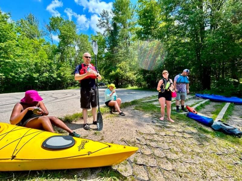
Explore Michigan with West Michigan Kayaking Club
Looking for more than an occasional paddle? Join the West Michigan Kayaking Club, a Grand Rapids-based outdoor adventure community exploring Michigan's rivers, lakes, trails, and wilderness.
Our adventures include active day paddles, multi-day river expeditions, kayak camping, hiking, backpacking, cycling, and outdoor exploration.
We believe in getting out there, covering miles, and discovering what's around the next bend.
Wild Rivers. Rugged Trails. Real Adventure.
Membership is free. There are no dues or membership fees.
Website: https://www.westmichigankayakingclub.online
Become a member: https://www.westmichigankayakingclub.online/become-a-member
Facebook community: West Michigan Kayaking Club
By Brad De Young | Co-Founder, West Michigan Kayaking Club
The Kayakers Journal
Add comment
Comments